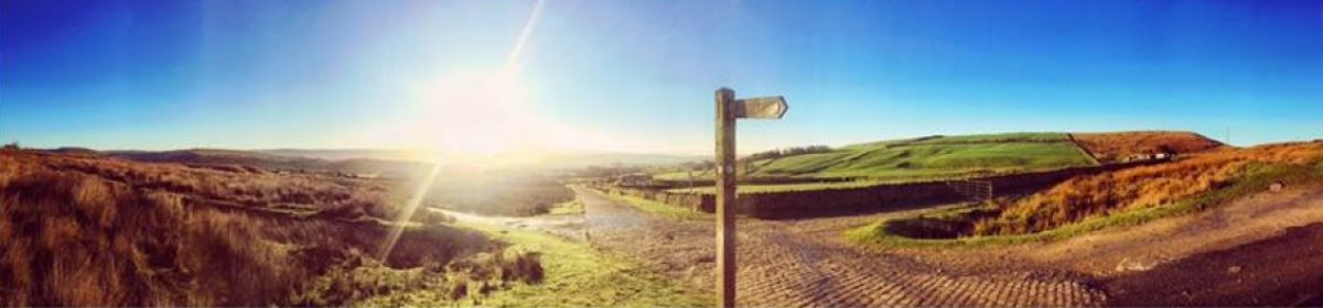

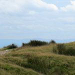
Rooley Moor was originally known as Shore Moor, an area that included the Ding(e) and Bagden which date back to medieval times. Rooley Moor got its name in the 18th century when Mr Rowley, later corrupted to Rooley, settled on what was to become the site of the Old Moorcock Inn.
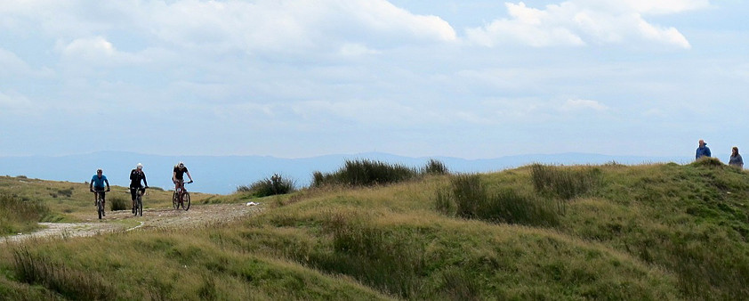
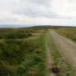
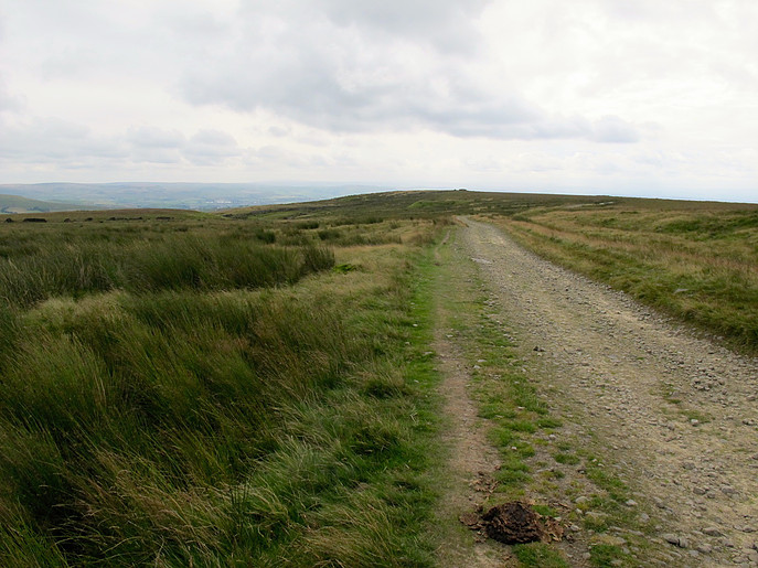
Catley Lane was the original name of Rooley Moor Road and was used to take wool, a vital export for medieval England, to Whalley Abbey a 14th century Cistercian Abbey. Cistercian houses accumulated great tracts of land during the 12th and early 13th centuries, when land prices were low and labour scarce. Whalley Abbey owned so much land in Spotland it claimed the manorial rights. Over one hundred charters defining the Abbey’s land boundaries for Spotland are recorded in the Coucher Book of Whalley Abbey. For example, if you wanted to travel north from Smallshaw to Whalley Abbey you would go via Rooley Moor Road. With such a large number of farmsteads and Abbey land along the line of Catley Lane, a drovers way for sheep and cattle would be a natural medieval route to the nearby market (established in 1251) town of Rochdale, which was important enough to have a castle, and north to Whalley Abbey.
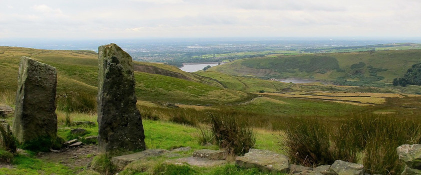
Whalley Abbey was a major distribution centre for raw wool that was baled and shipped from North Sea ports to the textile cities of Flanders, notably Ypres and Ghent to be dyed and worked up as cloth. The importance of wool to the English economy can be seen in the fact that since the 14th century, the presiding officer of the House of Lords has sat on the “Woolsack”, a chair stuffed with wool.
Source: Stuart Mendelson
Related Images


